Today work took me flying over Waimea, over Waipio Valley and back. Seeing the island from the air is a great way to see things.
Here we leave Waipio Valley flying over Kukuihaele back to the Waimea-Kohala airport. You’ll have to see the Sunday, May 23rd West Hawaii Today to see why I was in the air.
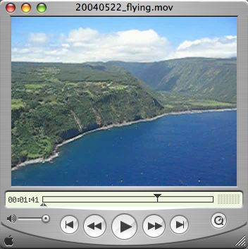
Click on the image above to see a movie of my flight, broadband users only as it’s about 9MB in size. We took-off from Waimea-Kohala airport, winged over Waimea town, flew over the back of Waipio Valley then went as far as Waimanu valley before flying back over Kukuihaele and back to the airport with the final view of Mauna Kea in the distance.
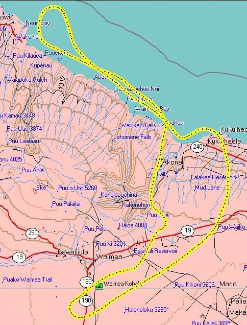
A map showing the track of my flight according to my GPS unit that I had on during the flight.